SISKIYOU COUNTY, CA — August 20, 2025
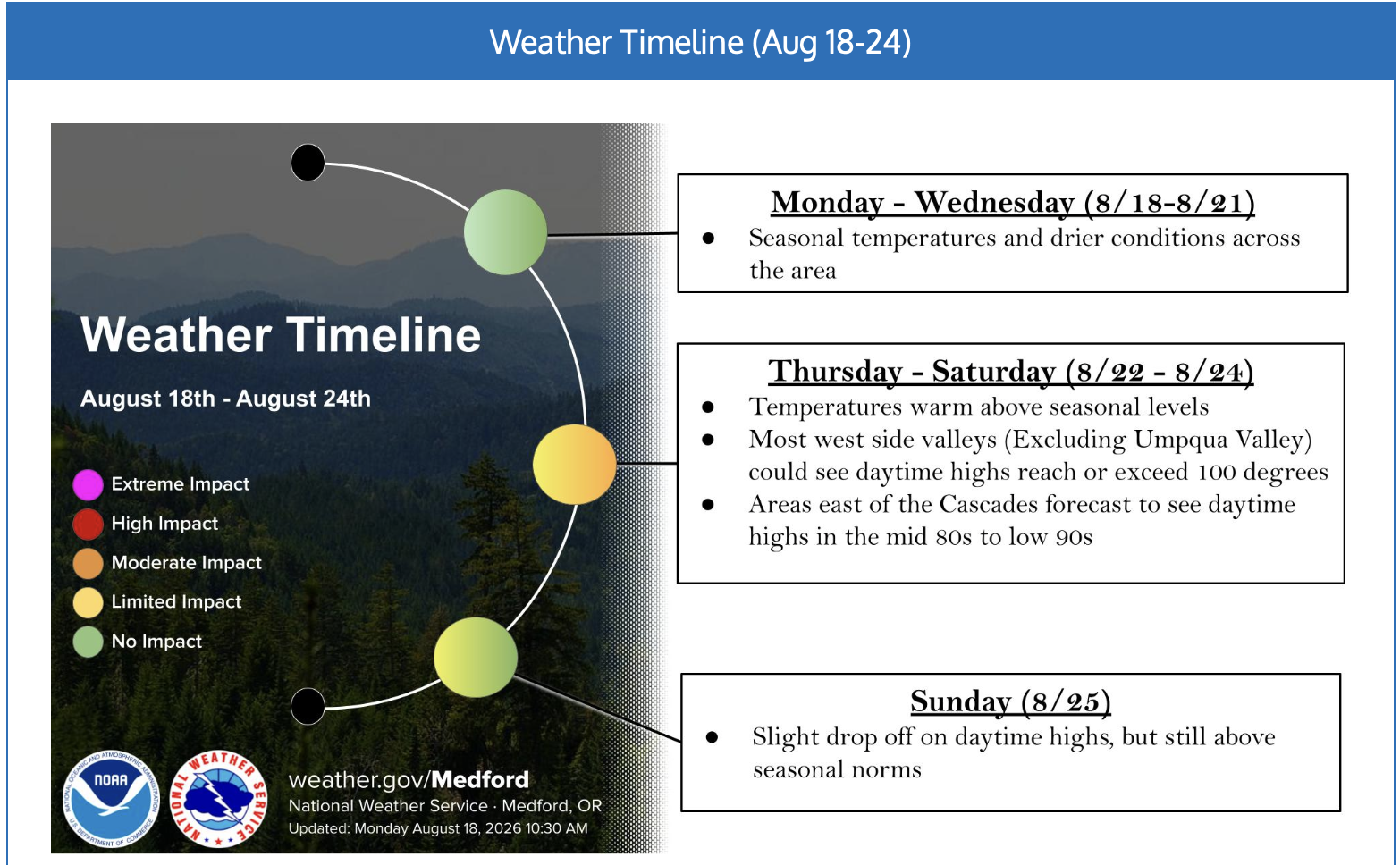
The National Weather Service Medford office has extended an extreme heat warning for Siskiyou County, with dangerous temperatures expected to persist through at least Wednesday morning. The advisory covers both central and western parts of the county, where high temperatures are forecast to soar well above seasonal averages this week[1][2].
Meteorologists warn that temperatures could climb as high as 105–108°F in some valleys, especially in communities such as Mt. Shasta, Weed, and Yreka. Overnight lows are also anticipated to remain unusually warm, offering little relief from the daytime heat. According to the National Weather Service, this prolonged stretch of excessive heat poses a heightened risk of heat-related illnesses, particularly for vulnerable populations such as the elderly, young children, outdoor workers, and those without air conditioning[1][3].
“Heat related illnesses increase significantly during extreme heat. Warm overnight temperatures will provide little relief from hot daytime conditions,” the NWS Medford cautioned[3].
To help local residents cope, cooling centers have opened across Siskiyou County:
- Mt. Shasta Community Resource Center, 109 E. Lake St.
- Weed Family & Community Resource Center, 260 Main St.
- Scott Valley Family Resource Center, Fort Jones, 11920 Main St.
- Karuk Senior Center, Happy Camp, 64101 2nd Ave.
- HUB Communities Family Resource Center, Montague, 310 S. 13th St.
Officials urge everyone to stay indoors during peak afternoon temperatures, hydrate frequently, check on neighbors, and avoid strenuous outdoor activity. Residents are also advised to keep pets indoors and to never leave children or animals unattended in vehicles, even for brief periods[2].
The advisory will remain in effect until at least 2 a.m. Wednesday, with forecasters monitoring for any extension or upgrade as temperatures continue to trend above normal. For up-to-date information, residents should monitor local alerts and visit the National Weather Service Medford’s official channels.
Stay safe, Siskiyou County, and take precautions during this dangerous heat wave[1][2][3].
Sources
[1] Heat Advisory extended by NWS Medford office https://www.weather.gov/mfr
[2] Cooling centers open across Southern Oregon, Northern California https://www.ijpr.org/weather/2025-08-11/cooling-centers-guide-jackson-josephine-siskiyou
[3] 4 – National Weather Service https://forecast.weather.gov/product.php?site=MFR&issuedby=MFR&product=NPW&format=CI&version=4
[4] Zone Area Forecast for Central Siskiyou County https://forecast.weather.gov/MapClick.php?zoneid=CAZ081
[5] Area Forecast Discussion – National Weather Service https://forecast.weather.gov/product.php?site=NWS&issuedby=MFR&product=AFD&format=CI&version=10&highlight=on
[6] Area Forecast Discussion – National Weather Service https://forecast.weather.gov/product.php?site=mfr&issuedby=MFR&product=AFD
[7] Zone Area Forecast for South Central Siskiyou County https://forecast.weather.gov/MapClick.php?zoneid=CAZ082
[8] Medford, OR – National Weather Service https://www.weather.gov/mfr/
[9] Siskiyou Mountains and Southern Oregon Cascades https://forecast.weather.gov/MapClick.php?zoneid=ORZ028
[10] WWA Summary for Extreme Heat Warning Issued by STO https://forecast.weather.gov/wwamap/wwatxtget.php?cwa=STO&wwa=extreme+heat+warning
[11] Area Forecast Discussion – National Weather Service https://forecast.weather.gov/product.php?site=MFR&issuedby=MFR&product=AFD&format=CI&version=1
[12] Zone Area Forecast for Western Siskiyou County https://forecast.weather.gov/MapClick.php?zoneid=CAZ080
[13] Zone Area Forecast for Central Siskiyou County https://forecast.weather.gov/MapClick.php?zoneid=CAZ081&zflg=1
[14] Zone Area Forecast for North Central and Southeast Siskiyou County https://forecast.weather.gov/MapClick.php?zoneid=CAZ083&zflg=1
- Writing Classes and Contests – John Sammon
- Loose Screws: Mount Shasta Leadership Shakeup Leaves Questions Unanswered
- Protecting Your Health During A Wildfire : What Northern California Residents Should Know
- State Water Board To Consider LOW-INTEREST LOAN For Quartz Valley Tribe Land Acquisition In Scott River Headwaters
- Obituary: Minnie “Bunny” Frederick