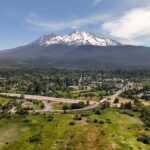
We drive along the northern base of Mt. Shasta along scenic Highway 97. My geologist friend and I are headed to where Whitney Creek crosses the highway and we pull off at that location. My pardner has been keeping an eye on this spot for decades. It is a place where exciting things can happen.
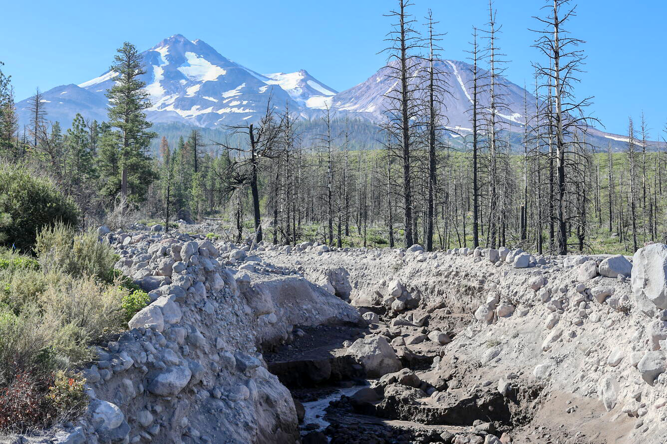
Here, irregular and difficult-to-predict events sometimes occur at any time during summer—usually during drought years. Whitney Glacier, high on the northern slope of the volcano and the largest chunk of ice in our state, sometimes discharges a large amount of meltwater. As the water flows down the canyon, it mixes with ash, mud, rocks and trees to form a mushy concrete-like mass. Oftentimes the debris gets hung up, forms blockages, then jumps from one channel to other nearby gullies. The flow has much force and has historically washed-out roads and the railroad. Scars high up on trees near the channels are interesting artifacts of these events.
As I ponder this phenomenon, and ask my friend about the flooding process, it is clear that the Whitney Creek floods are eating away at our tall volcano and depositing the material on the flats below. The same thing happens elsewhere on the mountain—in canyons along the old Ski Bowl road and most notably along Mud and Ash Creeks, near McCloud.


