Latest News, Siskiyou

UPDATE: Anomalous Snowpack Data at Middle Boulder 3 Raises Questions in Scott River Basin

UPDATE:

Middle Boulder 3 on January 30th 2025

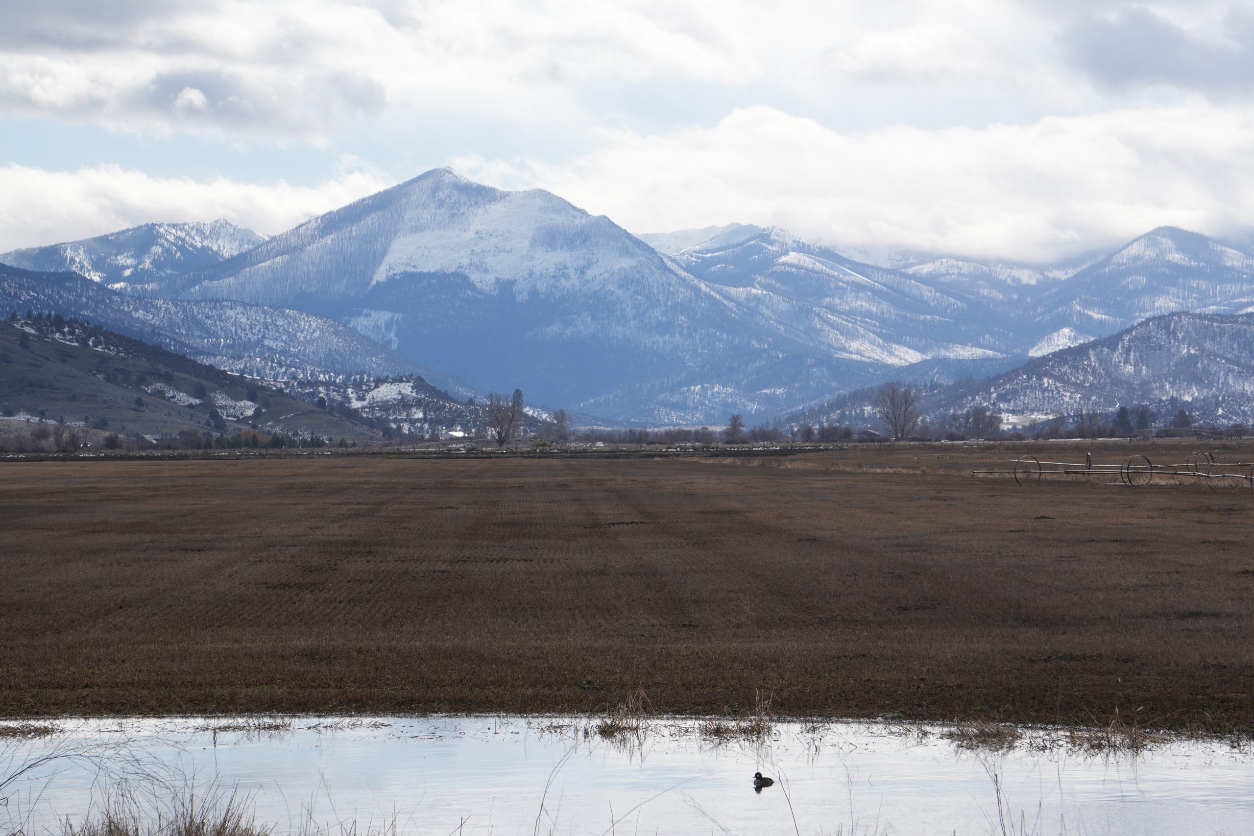
Photo courtesy of Scott River Watershed Council – Charnna Gilmore

Above is a photo taken at Middle Boulder 3 sample location on January 30th, before the big storm system. At 6200 feet in elevation, you can see bare dirt in the foreground at the end of January. Pictured is the snow survey crew.

statement from Paul, snow survey crew member: 

There was generally overall, less snow in areas, than the January/February sampling. The composition of the pack was very different too. Site #3 and Dynamite appeared to have been in a thermal belt, it hadn’t frozen the night before. Everything was melting quickly, there were no more ice layers in the pack and the ground underneath was wet, and unfrozen. There was evidence of newer snow around, but the pack had been heavily influenced by the previous rain and warmer weather.

THE SNOW PACK

Recent snowpack measurements in Northern California’s Klamath region have revealed a striking contrast between watersheds, with the Shasta River basin boasting robust snow levels while the Scott River basin shows a more uneven picture. However, one measurement site in the Scott River basin—Middle Boulder 3—has sparked particular intrigue and concern due to an unusual anomaly in its water content data, prompting a response from the Klamath National Forest (KNF).

March measurements received as of Wed, March 05, 07:54 AM

According to the latest snow surveys conducted in early March 2025 by the California Data Exchange Center (CDEC) and the U.S. Forest Service, the Shasta River basin is thriving at 119% of its April 1 historical average. Sites like Parks Creek (108%) and Sweetwater (130%) reflect a healthy snowpack that bodes well for water supply in the region. In contrast, the Scott River basin averages just 74% of its April 1 historical norm, with significant variations across its measurement sites.

Within the Scott River basin, Swampy John (5,500 feet) stands out with 86 inches of snow and 33 inches of water content—136% of its historical average—while Scott Mountain (5,900 feet) measures a solid 114%. But the data from Middle Boulder 3, located at 6,200 feet, tells a perplexing story. Despite a snow depth of 56.5 inches (93.3% of average), its water content was recorded at a mere 3.4–3.5 inches, equating to just 15% of the expected water content for this site.

This anomaly becomes even more puzzling when compared to February’s measurements. From February to March, Middle Boulder 3’s snow depth increased by 22.8 inches, rising from 33.7 inches to 56.5 inches—an improvement from 66.5% to 96.2% of the long-term average snow height for the Scott watershed. Yet, its water content appears to have dropped dramatically from 15.9 inches to 3.4 inches, a decline from 96.6% to 86.7% of the basin’s average water content percentage. This counterintuitive trend has raised eyebrows among observers and prompted questions about the integrity of the data.

In response to inquiries from Siskiyou News, Allen Lagrange, a hydrologist with the Klamath National Forest, offered insight into the situation. “The most plausible explanation for the discrepancy is either human or instrumentation error at the time the measurements were conducted,” Lagrange stated. He noted that the reported value is an average of 10 sampling points taken during the survey and that the same field crew measured multiple sites that day without similar irregularities elsewhere.

“We have been carefully reviewing these numbers throughout the week to understand what may have occurred at this site,” Lagrange added. “As a forest, we are committed to maintaining accurate data collection procedures. We will review our protocols and continue to monitor this site closely throughout the rest of the season.” The next survey at Middle Boulder 3 is scheduled for late March to early April, a critical period when snowpack typically peaks.

The unusual data from Middle Boulder 3 has sparked speculation. If the additional 22.8 inches of snow accumulated between February and March had a typical water content (often around 30–40% of snow depth), the total water content could have approached or exceeded historical norms, potentially pushing the site closer to 100% or more of its average. Instead, the reported 3.4 inches suggests either a measurement error or an unusual physical process affecting the snowpack, such as extreme compaction or melting, though the latter seems unlikely given the season and elevation.

These snowpack measurements are vital for Northern California’s water supply, particularly for agricultural operations in Siskiyou County that depend on the Shasta and Scott rivers. The data, collected manually at long-established snow courses like Middle Boulder 3 (monitored for over 70 years), provides critical long-term insights into climate trends and water availability.

The KNF has faced additional challenges in sharing this data, with bureaucratic delays hindering timely press releases. A hydrologist noted that new Regional Office approval requirements have stalled updates, leaving February’s results unreleased since early last month and March’s only recently submitted for review.

As the snow season progresses, all eyes will be on Middle Boulder 3 during the next survey window of March 26–April 1. For now, the anomaly serves as a reminder of the complexities involved in monitoring snowpack and the importance of precision in ensuring reliable water forecasts for the region.


Quote of the Day:
“The most plausible explanation for the discrepancy is either human or instrumentation error… We are committed to maintaining accurate data collection procedures.”
– Allen Lagrange, Hydrologist, Klamath National Forest


Leave a Comment

Your email address will not be published. Required fields are marked *

*