Klamath National Forest completes final spring snow survey with only one high-elevation site retaining measurable snow
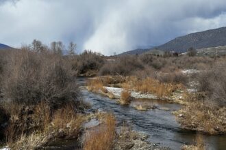
YREKA โ Spring has effectively erased the Scott River watershed’s snowpack, according to May snow survey results released Tuesday by the Klamath National Forest.
Across all measurement points in the Scott River sub-basin, both snow depth and Snow Water Equivalent โ the measure of actual water content held in the snowpack โ came in at just 0.8% of historical averages. Of the multiple established survey sites in the watershed’s headwaters, only the highest-elevation location in the Middle Boulder Basin retained any measurable snow at all.
The numbers confirm what surveyors have been watching unfold since April: a spring melt-out that left little room for recovery despite occasional storms passing through the region over the past month.
“While some storms have passed through the region over the last month, nothing of significance was added to the April snowpack,” the Forest Service stated in its release.
The May survey marks the close of the winter-spring measurement season, which runs February through May. Forest Service employees travel to fixed sites in the Scott River headwaters each month to record snow depth and water content using a weighted core-sampling tube driven through the snowpack. That data feeds into California’s Cooperative Snow Survey program, managed by the California Department of Water Resources, which uses statewide snowpack figures to forecast water availability for agriculture, power generation, recreation, and stream flow releases through the dry season.
The Scott River watershed’s two bookend survey sites tell the story of a long institutional commitment to the measurements: the newest site at Scott Mountain has been monitored for 40 years; the oldest, at Middle Boulder, has been tracked for 80 years. Access ranges from roadside to hours-long snowshoe or snowmobile travel.
For the Scott Valley’s ranching and farming communities, which depend heavily on Scott River flows through summer, the near-total absence of snowpack by mid-May offers little buffer heading into what is typically the driest stretch of the year.

Statewide snow survey data is available through the California Data Exchange Center at cdec.water.ca.gov/snow.html.
Siskiyou News covers water, land, and agricultural issues throughout Siskiyou County.


